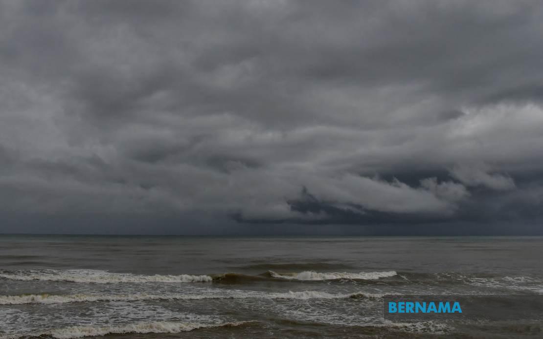
Authorities across Malaysia are bracing for a period of severe weather as the Malaysian Meteorological Department issued a widespread alert on July 16 for thunderstorms, torrential rain, and gusty winds set to pound numerous districts until 9pm today. The alert encompasses a substantial swathe of the country, spanning from northern Peninsular Malaysia down through the central and southern regions, while also affecting both East Malaysian states and the federal territory of Labuan.
In northern Peninsular Malaysia, residents of Perlis face the full brunt of the expected conditions. Across the border in Kedah, the warning extends to multiple districts including the popular tourist destination of Langkawi alongside Kubang Pasu, Padang Terap, Sik, Baling, Kulim and Bandar Baharu. This geographic spread suggests a powerful weather system moving through the region with considerable atmospheric instability.
Perak residents in several districts have also been placed on alert by MetMalaysia. The warning encompasses Kerian, Larut, Matang and Selama along the coast, transitioning inland to cover Hilir Perak, Batang Padang and Muallim. The inclusion of multiple zones indicates meteorologists are tracking a system capable of generating severe conditions across diverse terrain from coastal plains to inland regions.
The Klang Valley and surrounding areas face similar threats. Kuala Lumpur proper has been included in the alert, while neighbouring Selangor faces warnings across Sabak Bernam, Kuala Selangor, Hulu Selangor, Klang, Gombak and Petaling. For residents and commuters in Malaysia's most densely populated region, this means potential disruptions to traffic, power supply, and daily routines during peak evening hours as the weather system moves through the metropolitan area.
Southern Peninsular Malaysia is not spared from the meteorological threat. In Johor, MetMalaysia flagged Kulai and Johor Bahru as zones expecting the severe conditions. Given these districts' significance as major population centres and economic hubs, any significant weather disruption could have cascading effects on commerce and transportation in the region.
The alert extends significantly eastward into Sabah, where the Interior region and the West Coast face the brunt of expected conditions. Specifically, the West Coast districts of Papar, Putatan, Penampang, Kota Kinabalu, Tuaran and Ranau—encompassing Sabah's most developed areas—have been included in the warning. Additionally, Sandakan division in the north is expected to experience the system, with Tongod, Telupid and Beluran marked as affected zones. This coverage suggests the weather system has sufficient geographic reach to impact East Malaysia's populated centres simultaneously.
In Sarawak, the alert zones reflect a similar pattern of targeting populated and economically significant areas. Kapit division faces the warning, covering Kapit town itself, Bukit Mabong and Belaga. The inclusion of Miri, a major urban and energy sector hub on Sarawak's northern coast, alongside Limbang near the Brunei border, indicates the system's expansive reach across the state's diverse geography.
MetMalaysia's decision to issue this multi-state alert reflects the considerable strength and extent of the atmospheric disturbance moving through Southeast Asia. The temporal window—lasting until 9pm—provides residents and relevant authorities with a defined timeframe for preparation and response measures. During such weather events, the risk of flash flooding is particularly acute in low-lying areas, while strong winds pose dangers to structures, power lines, and outdoor activities.
The comprehensive nature of this alert underscores the importance of public awareness and preparedness. Residents in affected zones should secure loose outdoor items, avoid unnecessary travel during the peak storm hours, and monitor local weather updates for any escalation in warnings or emergency advisories. For businesses and critical infrastructure operators, contingency measures such as emergency power supplies and drainage system checks become prudent precautions.
The timing of evening hours when the system is forecast to peak carries additional implications for road safety and public commuting patterns. Workers returning home during rush hour in states like Selangor and Johor may encounter hazardous driving conditions, while public transportation networks could face delays or service interruptions. Schools and institutions in affected areas may also need to adjust schedules to ensure public safety.
This alert exemplifies the dynamic nature of Malaysia's tropical climate, where atmospheric systems regularly generate severe weather events, particularly during monsoon seasons. The coordination between MetMalaysia and other state and federal agencies in disseminating such warnings represents an important institutional mechanism for disaster risk reduction. As climate patterns continue to evolve globally, such forecasting and early warning systems remain critical tools for protecting lives and property across the country.