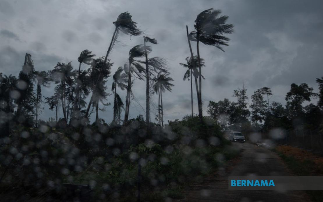
The Malaysian Meteorological Department (MetMalaysia) has activated an adverse weather warning covering a substantial portion of the country, alerting residents and authorities to prepare for thunderstorms, intense rainfall and dangerous wind gusts. The alert encompasses multiple states across Peninsular Malaysia as well as both Sabah and Sarawak, with conditions expected to persist until 6 pm today, requiring heightened vigilance from the public throughout the affected regions.
Kedah faces exposure in the Langkawi area, while Perak is experiencing warnings across six separate localities. The northern state encompasses Kinta, Perak Tengah, Kampar, Hilir Perak, Batang Padang and Muallim, reflecting the widespread nature of the weather disturbance moving through the region. These varied administrative divisions suggest the storm system covers a geographically extensive zone across the state.
Kelantan is particularly impacted, with nine districts placed under alert status. The warning extends from coastal areas such as Tumpat and Kota Bharu inland to Jeli, Tanah Merah, Bachok, Machang, Pasir Puteh and Kuala Krai, indicating the system affects both developed urban centres and less densely populated territories. The comprehensive coverage across the state reflects the scale of atmospheric instability across the northern east coast.
Terengganu's four affected districts—Besut, Setiu, Kuala Nerus and Kemaman—suggest the warning system has identified particular vulnerability zones within the state. These areas face heightened risk from the combination of heavy precipitation, electrical storm activity and strong wind conditions that characterise such weather events during this period of the year.
Pahang experiences the most extensive warning footprint among peninsula states, with nine locations identified as requiring public caution. Cameron Highlands, the highland retreat popular with tourists, sits alongside lowland areas including Kuantan, Pekan and Rompin. This diversity of terrain and elevation within the warning zone indicates the meteorological system spans varied geographical features, from elevated plateaus to coastal plains. Additionally, the Selangor districts of Hulu Selangor and Gombak fall within the alert parameters, extending the warning's reach toward the central region.
Negeri Sembilan faces disruption in Jempol and Tampin, while Johor's southern territories experience warnings covering Tangkak, Segamat, Kluang, Mersing and Kota Tinggi. This southern penetration of the weather system demonstrates how the disturbance extends across considerable latitudinal distance, from northern Kedah through to Johor's eastern and southern districts. The inclusion of Mersing and Kota Tinggi, coastal areas on Johor's eastern shore, highlights maritime exposure to the anticipated severe conditions.
Sabah's interior and west coast regions bear the brunt of the alert across the state. The Interior region encompasses Sipitang, Tenom, Beaufort, Keningau and Tambunan, while the West Coast zone includes Papar, Putatan, Penampang, Kota Kinabalu and Tuaran. The state's eastern sectors receive separate warnings, with Lahad Datu in Tawau and Kinabatangan in Sandakan added to the alert list. This comprehensive coverage suggests the weather disturbance affects Sabah's entire inhabited territories.
Sarawak faces warnings in selected districts spanning the state's geographical expanse. Tatau and Sebauh in Bintulu represent the south-central zone, Subis in Miri covers the north, and Limbang extends the alert to the far north. These dispersed locations indicate the weather system maintains sufficient strength and extent across the island of Borneo to warrant multi-regional warnings.
Such extensive weather alerts serve as critical advisories for multiple stakeholder groups operating within the affected regions. Authorities managing transportation systems must prepare for potential disruptions, while construction sites and outdoor operations require contingency measures to protect personnel and assets. The emphasis on heavy rain particularly concerns flood-prone areas and areas dependent on drainage infrastructure, while the strong wind advisory affects structures and potentially impacts maritime activities along the affected coasts.
The temporal specificity of the warning—extending until 6 pm—provides a defined window during which residents and emergency services can monitor conditions. However, the breadth of geographic coverage suggests coordinated monitoring across multiple state meteorological offices and emergency management agencies. The warning demonstrates MetMalaysia's established capacity to identify and communicate severe weather risks across the nation's diverse territories, enabling stakeholders to implement appropriate protective measures ahead of the anticipated deterioration in conditions.